ShareLandfall expected in Louisiana from 4 p.m. today
![]()
![]()
![]()
![]()
Hurricane Francine is likely to make landfall between Avery Island and Houma, Louisiana, between 4 p.m. and 8 p.m. ET today.
This will be the seventh hurricane to make landfall in Louisiana in the last eight years. Here is a rundown of the main threats.
Rain
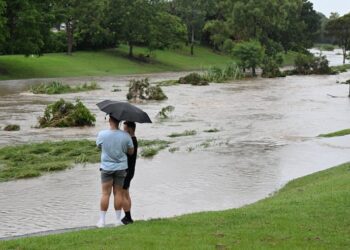
As much as 12 inches of rain could fall in some areas across southern Louisiana and southern Mississippi.
The sheer amount of rain, between 3 and 5 inches per hour, could cause rapid flash flooding especially in urban areas such as Baton Rouge and New Orleans.
Flood watches are in place for 8 million people from Louisiana to northeast Florida, with the threat of heavy rain and flooding moving north and east tomorrow from the Florida Panhandle into southern Illinois.
Storm surge
The highest storm surge of between 5 and 10 feet is possible along the southcentral Louisiana coast between Vermillion Bay and Port Fourchon.
Areas around Lake Pontchartrain could experience 4 to 6 feet of storm surge. Areas on the northern periphery of Lake Pontchartrain will be at higher risk for inundation because that part is not as heavily leveed as the southern end.
Wind gusts
While Francine is expected to rapidly weaken after landfall, wind gusts up to 80 mph will still be possible across southern Louisiana.
Widespread power outages are likely and tornadoes are also a formidable risk today, especially across southeast Louisiana into southern Mississippi and the western Florida Panhandle through the night.
Source link : http://www.bing.com/news/apiclick.aspx?ref=FexRss&aid=&tid=66e1a44df61e40c3aeb8658ea73798c5&url=https%3A%2F%2Fwww.nbcnews.com%2Fnews%2Fus-news%2Flive-blog%2Ffrancine-live-updates-rcna170567&c=11548901846356707521&mkt=en-us
Author :
Publish date : 2024-09-11 02:23:00
Copyright for syndicated content belongs to the linked Source.


